Tadiandamol
- Distance: 5.0 mi
- Elevation gain: 847 m
- Maximum elevation: 1,717 m
- Elevation loss: 83 m
- Minimum elevation: 934 m
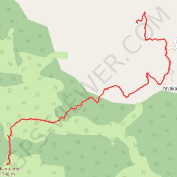
Interactive trail map
Trail profile
- Distance: 5.0 mi
- Elevation gain: 847 m
- Maximum elevation: 1,717 m
- Elevation loss: 83 m
- Minimum elevation: 934 m
About this trail
Name: Tadiandamol trail, distance, elevation, map, profile, GPS track
Start: Yavakapadi, Madikeri taluku, Kodagu, Karnataka, 571212, India (12.24397 75.63386)
End: Tadiyandmol Trail, Madikeri taluku, Kodagu, Karnataka, India (12.21740 75.60874)
Coordinates: 12.21740 75.60874 12.24596 75.64018
Other hiking, mountain biking, running and outdoor activity trails
Click on a trail to view its statistics, map and profile.
Tadiandamol
India > Karnataka > Madikeri taluku > Yavakapadi
Distance: 5.0 mi • Elevation gain: 847 m • Maximum elevation: 1,717 m