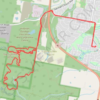
Redland - Bayview Conservation Area
Interactive trail map
Trail profile
- Distance: 10.8 mi
- Elevation gain: 253 m
- Maximum elevation: 75 m
- Elevation loss: 252 m
- Minimum elevation: 7 m
About this trail
Name: Redland - Bayview Conservation Area trail, distance, elevation, map, profile, GPS track
Coordinates: -27.64973 153.27164 -27.62536 153.30384
Other hiking, mountain biking, running and outdoor activity trails
Click on a trail to view its statistics, map and profile.
Bayview Conservation Area Loop
Distance: 13.2 mi • Elevation gain: 295 m • Maximum elevation: 75 m