Bird Pond by Pepin and McBurnie Trails
Interactive trail map
Trail profile
- Distance: 2.2 mi
- Elevation gain: 48 m
- Maximum elevation: 133 m
- Elevation loss: 48 m
- Minimum elevation: 89 m
About this trail
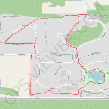
Name: Bird Pond by Pepin and McBurnie Trails trail, distance, elevation, map, profile, GPS track
Coordinates: 49.00248 -122.67935 49.00928 -122.66632