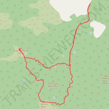
Shay Mountain and Ingham Peak Loop Hike in San Bernardino National Forest
- Distance: 8.7 mi
- Elevation gain: 529 m
- Maximum elevation: 2,042 m
- Elevation loss: 529 m
- Minimum elevation: 1,706 m
- Moving time: 5 h 20 m
- Moving speed: 1.6 mph
- Maximum speed: 8.0 mph
- Total time: 7 h 42 m
- Global speed: 1.1 mph
Interactive trail map
Trail profile
- Distance: 8.7 mi
- Elevation gain: 529 m
- Maximum elevation: 2,042 m
- Elevation loss: 529 m
- Minimum elevation: 1,706 m
- Moving time: 5 h 20 m
- Moving speed: 1.6 mph
- Maximum speed: 8.0 mph
- Total time: 7 h 42 m
- Global speed: 1.1 mph
About this trail
Name: Shay Mountain and Ingham Peak Loop Hike in San Bernardino National Forest trail, distance, elevation, map, profile, GPS track
Start: Hawes Ranch Road, San Bernardino County, California, United States (34.32263 -117.05832)
End: Hawes Ranch Road, San Bernardino County, California, United States (34.32268 -117.05830)
Coordinates: 34.28970 -117.08677 34.32278 -117.05830