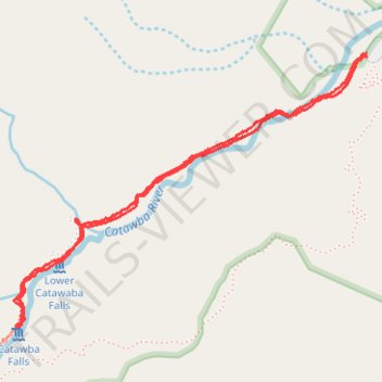
Catawba Falls Trail
- Distance: 2.4 mi
- Elevation gain: 179 m
- Maximum elevation: 639 m
- Elevation loss: 180 m
- Minimum elevation: 490 m
- Moving time: 1 h 2 m
- Moving speed: 2.3 mph
- Maximum speed: 4.2 mph
- Total time: 1 h 21 m
- Global speed: 1.8 mph
Interactive trail map
Trail profile
- Distance: 2.4 mi
- Elevation gain: 179 m
- Maximum elevation: 639 m
- Elevation loss: 180 m
- Minimum elevation: 490 m
- Moving time: 1 h 2 m
- Moving speed: 2.3 mph
- Maximum speed: 4.2 mph
- Total time: 1 h 21 m
- Global speed: 1.8 mph
About this trail
Name: Catawba Falls Trail trail, distance, elevation, map, profile, GPS track
Coordinates: 35.60420 -82.24540 35.61336 -82.23088
Other hiking, mountain biking, running and outdoor activity trails
Click on a trail to view its statistics, map and profile.
Catawba Falls River Trail in Pisgah National Forest
United States > North Carolina > McDowell County
The Catawba Falls Trail offers a scenic journey through Pisgah National Forest, guiding hikers along a gentle riverside path rich with historic stonework, lush vegetation, and streams that punctuate the quiet, wooded landscape. About halfway up, hikers encounter a historic dam that forms a small waterfall,…
Distance: 2.5 mi • Elevation gain: 205 m • Maximum elevation: 695 m