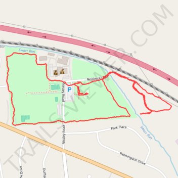
Amos Herr Park Loop
- Distance: 2.2 mi
- Elevation gain: 23 m
- Maximum elevation: 126 m
- Elevation loss: 23 m
- Minimum elevation: 109 m
- Moving time: 42 m 1 s
- Moving speed: 3.1 mph
- Maximum speed: 5.4 mph
- Total time: 42 m 1 s
- Global speed: 3.1 mph
Interactive trail map
Trail profile
- Distance: 2.2 mi
- Elevation gain: 23 m
- Maximum elevation: 126 m
- Elevation loss: 23 m
- Minimum elevation: 109 m
- Moving time: 42 m 1 s
- Moving speed: 3.1 mph
- Maximum speed: 5.4 mph
- Total time: 42 m 1 s
- Global speed: 3.1 mph
About this trail
Name: Amos Herr Park Loop trail, distance, elevation, map, profile, GPS track
Coordinates: 40.09302 -76.40349 40.09627 -76.39382