Sea Island Preserve
Charleston County Running
- Distance: 10.2 mi
- Elevation gain: 27 m
- Maximum elevation: 8 m
- Elevation loss: 27 m
- Minimum elevation: 2 m
- Moving time: 1 h 24 m
- Moving speed: 7.3 mph
- Maximum speed: 9.1 mph
- Total time: 1 h 24 m
- Global speed: 7.3 mph
Interactive trail map
Trail profile
- Distance: 10.2 mi
- Elevation gain: 27 m
- Maximum elevation: 8 m
- Elevation loss: 27 m
- Minimum elevation: 2 m
- Moving time: 1 h 24 m
- Moving speed: 7.3 mph
- Maximum speed: 9.1 mph
- Total time: 1 h 24 m
- Global speed: 7.3 mph
About this trail
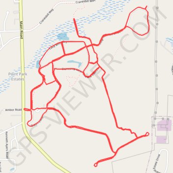
Name: Sea Island Preserve trail, distance, elevation, map, profile, GPS track
Coordinates: 32.72773 -80.10572 32.74392 -80.09065