Blowhard Bush
- Distance: 2.9 mi
- Elevation gain: 171 m
- Maximum elevation: 819 m
- Elevation loss: 171 m
- Minimum elevation: 704 m
- Moving time: 1 h 9 m
- Moving speed: 2.5 mph
- Maximum speed: 12.1 mph
- Total time: 1 h 10 m
- Global speed: 2.5 mph
Interactive trail map
Trail profile
- Distance: 2.9 mi
- Elevation gain: 171 m
- Maximum elevation: 819 m
- Elevation loss: 171 m
- Minimum elevation: 704 m
- Moving time: 1 h 9 m
- Moving speed: 2.5 mph
- Maximum speed: 12.1 mph
- Total time: 1 h 10 m
- Global speed: 2.5 mph
About this trail
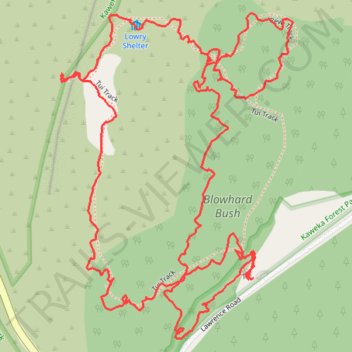
Name: Blowhard Bush trail, distance, elevation, map, profile, GPS track
Start: Tui Track, Hastings District, Hawke's Bay, New Zealand (-39.41412 176.41648)
End: Tui Track, Hastings District, Hawke's Bay, New Zealand (-39.41416 176.41635)
Coordinates: -39.41542 176.41111 -39.40846 176.41758