West Mtn
Route created on plotaroute.com
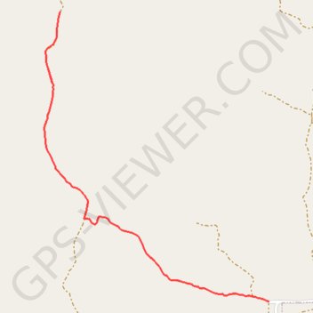
- Distance: 3.3 mi
- Elevation gain: 621 m
- Maximum elevation: 2,095 m
- Elevation loss: 620 m
- Minimum elevation: 1,569 m
- Moving time: 1 h 36 m
- Moving speed: 2.0 mph
- Maximum speed: 3.4 mph
- Total time: 2 h 45 m
- Global speed: 1.2 mph
Interactive trail map
Trail profile
- Distance: 3.3 mi
- Elevation gain: 621 m
- Maximum elevation: 2,095 m
- Elevation loss: 620 m
- Minimum elevation: 1,569 m
- Moving time: 1 h 36 m
- Moving speed: 2.0 mph
- Maximum speed: 3.4 mph
- Total time: 2 h 45 m
- Global speed: 1.2 mph
About this trail
Name: West Mtn trail, distance, elevation, map, profile, GPS track
Start: Utah County, Utah, United States (40.04075 -111.81619)
End: Utah County, Utah, United States (40.04075 -111.81622)
Coordinates: 40.04075 -111.83073 40.05510 -111.81619