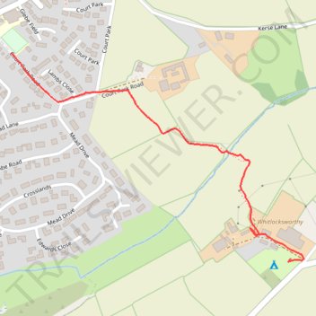
Thurlstone footpath from South Milton
- Distance: 0.7 mi
- Elevation gain: 50 m
- Maximum elevation: 57 m
- Elevation loss: 21 m
- Minimum elevation: 7 m
- Moving time: 17 m 29 s
- Moving speed: 2.5 mph
- Maximum speed: 8.2 mph
- Total time: 18 m 41 s
- Global speed: 2.3 mph
Interactive trail map
Trail profile
- Distance: 0.7 mi
- Elevation gain: 50 m
- Maximum elevation: 57 m
- Elevation loss: 21 m
- Minimum elevation: 7 m
- Moving time: 17 m 29 s
- Moving speed: 2.5 mph
- Maximum speed: 8.2 mph
- Total time: 18 m 41 s
- Global speed: 2.3 mph
About this trail
Name: Thurlstone footpath from South Milton trail, distance, elevation, map, profile, GPS track
Coordinates: 50.26834 -3.85662 50.27288 -3.84664
Topography: South Hams topographic map, elevation, terrain