Little Lakes - Benmiller
Maitland River. #Hiking
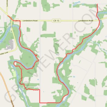
- Distance: 12.6 mi
- Elevation gain: 295 m
- Maximum elevation: 289 m
- Elevation loss: 323 m
- Minimum elevation: 224 m
Interactive trail map
Trail profile
- Distance: 12.6 mi
- Elevation gain: 295 m
- Maximum elevation: 289 m
- Elevation loss: 323 m
- Minimum elevation: 224 m
About this trail
Name: Little Lakes - Benmiller trail, distance, elevation, map, profile, GPS track
Coordinates: 43.67554 -81.62929 43.73090 -81.55816