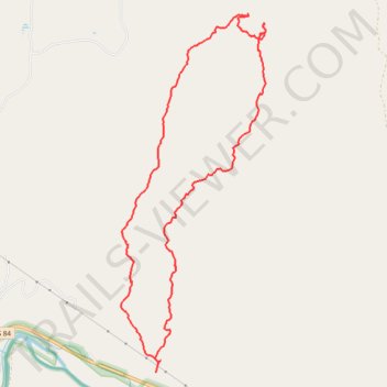
Red Wash Canyon Loop - Carson National Forest
- Distance: 7.3 mi
- Elevation gain: 421 m
- Maximum elevation: 2,162 m
- Elevation loss: 423 m
- Minimum elevation: 1,849 m
- Moving time: 3 h 10 m
- Moving speed: 2.3 mph
- Maximum speed: 13.8 mph
- Total time: 4 h 26 m
- Global speed: 1.6 mph
Interactive trail map
Trail profile
- Distance: 7.3 mi
- Elevation gain: 421 m
- Maximum elevation: 2,162 m
- Elevation loss: 423 m
- Minimum elevation: 1,849 m
- Moving time: 3 h 10 m
- Moving speed: 2.3 mph
- Maximum speed: 13.8 mph
- Total time: 4 h 26 m
- Global speed: 1.6 mph
About this trail
Name: Red Wash Canyon Loop - Carson National Forest trail, distance, elevation, map, profile, GPS track
Start: US 84, El Curuco, Abiquiu, Rio Arriba County, New Mexico, United States (36.23195 -106.37591)
End: US 84, El Curuco, Abiquiu, Rio Arriba County, New Mexico, United States (36.23092 -106.37641)
Coordinates: 36.23092 -106.38078 36.26707 -106.36262
Other hiking, mountain biking, running and outdoor activity trails
Click on a trail to view its statistics, map and profile.
Redwash Canyon hike
United States > New Mexico > Rio Arriba County
Distance: 7.1 mi • Elevation gain: 265 m • Maximum elevation: 2,040 m