Mount Cannibal
Interactive trail map
Trail profile
- Distance: 1.4 mi
- Elevation gain: 136 m
- Maximum elevation: 232 m
- Elevation loss: 136 m
- Minimum elevation: 102 m
- Moving time: 38 m 49 s
- Moving speed: 2.2 mph
- Maximum speed: 4.1 mph
- Total time: 40 m 46 s
- Global speed: 2.1 mph
About this trail
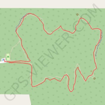
Name: Mount Cannibal trail, distance, elevation, map, profile, GPS track
Coordinates: -38.05355 145.67714 -38.04960 145.68337