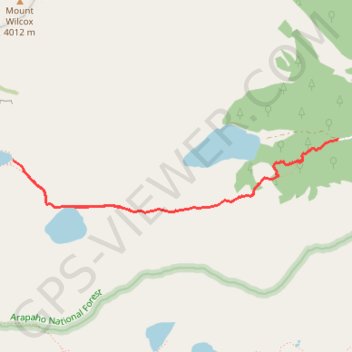
Silver Dollar Lake and Murray Lake
Interactive trail map
Trail profile
- Distance: 4.1 mi
- Elevation gain: 352 m
- Maximum elevation: 3,720 m
- Elevation loss: 352 m
- Minimum elevation: 3,421 m
About this trail
Name: Silver Dollar Lake and Murray Lake trail, distance, elevation, map, profile, GPS track
Start: 1076, Naylor Lake Road, Clear Creek County, Colorado, 80452, United States (39.60661 -105.72757)
End: Forest Road 243.3D, Clear Creek County, Colorado, United States (39.60659 -105.72757)
Coordinates: 39.60118 -105.75835 39.60661 -105.72757