MPTR 21KM
- Distance: 13.6 mi
- Elevation gain: 1,326 m
- Maximum elevation: 1,832 m
- Elevation loss: 1,326 m
- Minimum elevation: 1,116 m
- Moving time: 8 h 4 m
- Moving speed: 1.7 mph
- Maximum speed: 4.8 mph
- Total time: 1 d 5 h
- Global speed: 0.5 mph
Interactive trail map
Trail profile
- Distance: 13.6 mi
- Elevation gain: 1,326 m
- Maximum elevation: 1,832 m
- Elevation loss: 1,326 m
- Minimum elevation: 1,116 m
- Moving time: 8 h 4 m
- Moving speed: 1.7 mph
- Maximum speed: 4.8 mph
- Total time: 1 d 5 h
- Global speed: 0.5 mph
About this trail
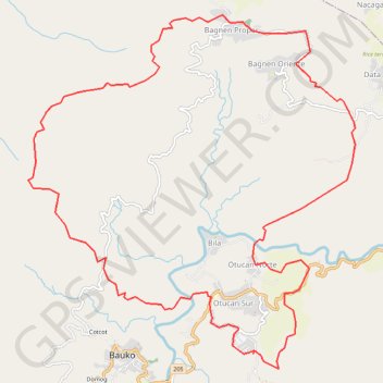
Name: MPTR 21KM trail, distance, elevation, map, profile, GPS track
Coordinates: 16.98835 120.85159 17.03772 120.89928