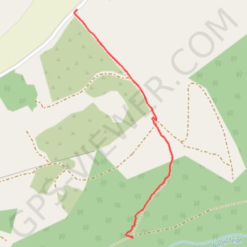
Forest path in Gidleigh #2
- Distance: 0.5 mi
- Elevation gain: 43 m
- Maximum elevation: 306 m
- Elevation loss: 30 m
- Minimum elevation: 262 m
- Moving time: 15 m 8 s
- Moving speed: 1.9 mph
- Maximum speed: 4.9 mph
- Total time: 27 m
- Global speed: 1.1 mph
Interactive trail map
Trail profile
- Distance: 0.5 mi
- Elevation gain: 43 m
- Maximum elevation: 306 m
- Elevation loss: 30 m
- Minimum elevation: 262 m
- Moving time: 15 m 8 s
- Moving speed: 1.9 mph
- Maximum speed: 4.9 mph
- Total time: 27 m
- Global speed: 1.1 mph
About this trail
Name: Forest path in Gidleigh #2 trail, distance, elevation, map, profile, GPS track
Start: Teigncombe, Chagford, West Devon, Devon, England, TQ13 8ET, United Kingdom (50.67352 -3.87947)
End: Gidleigh, West Devon, Devon, England, TQ13 8HS, United Kingdom (50.67866 -3.88143)
Coordinates: 50.67348 -3.88153 50.67866 -3.87802
Topography: West Devon topographic map, elevation, terrain