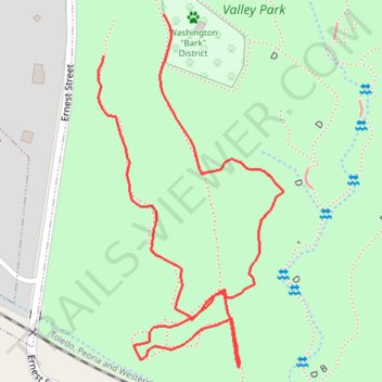
Meadow Valley Park South
- Distance: 0.7 mi
- Elevation gain: 23 m
- Maximum elevation: 227 m
- Elevation loss: 21 m
- Minimum elevation: 206 m
- Moving time: 27 m 1 s
- Moving speed: 1.7 mph
- Maximum speed: 3.0 mph
- Total time: 51 m 40 s
- Global speed: 0.9 mph
Interactive trail map
Trail profile
- Distance: 0.7 mi
- Elevation gain: 23 m
- Maximum elevation: 227 m
- Elevation loss: 21 m
- Minimum elevation: 206 m
- Moving time: 27 m 1 s
- Moving speed: 1.7 mph
- Maximum speed: 3.0 mph
- Total time: 51 m 40 s
- Global speed: 0.9 mph
About this trail
Name: Meadow Valley Park South trail, distance, elevation, map, profile, GPS track
Start: 615, Ernest Street, Washington, Tazewell County, Illinois, 61571, United States (40.68870 -89.46386)
Coordinates: 40.68577 -89.46392 40.68909 -89.46163