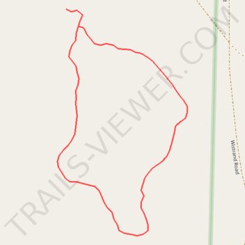
Birch Point Nature Preserve South Loop
- Distance: 0.3 mi
- Elevation gain: 5 m
- Maximum elevation: 183 m
- Elevation loss: 5 m
- Minimum elevation: 178 m
- Moving time: 9 m 57 s
- Moving speed: 2.1 mph
- Maximum speed: 4.3 mph
- Total time: 9 m 57 s
- Global speed: 2.1 mph
Interactive trail map
Trail profile
- Distance: 0.3 mi
- Elevation gain: 5 m
- Maximum elevation: 183 m
- Elevation loss: 5 m
- Minimum elevation: 178 m
- Moving time: 9 m 57 s
- Moving speed: 2.1 mph
- Maximum speed: 4.3 mph
- Total time: 9 m 57 s
- Global speed: 2.1 mph
About this trail
Name: Birch Point Nature Preserve South Loop trail, distance, elevation, map, profile, GPS track
Start: Birch Point Road, Lake Township, Benzie County, Michigan, United States (44.69300 -86.13094)
End: Birch Point Road, Lake Township, Benzie County, Michigan, United States (44.69286 -86.13080)
Coordinates: 44.69111 -86.13104 44.69300 -86.12952