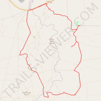
Thorpe Hills Cycling Loop
- Distance: 19.3 mi
- Elevation gain: 458 m
- Maximum elevation: 1,659 m
- Elevation loss: 459 m
- Minimum elevation: 1,508 m
- Moving time: 2 h 19 m
- Moving speed: 8.3 mph
- Maximum speed: 25.1 mph
- Total time: 2 h 25 m
- Global speed: 8.0 mph
Interactive trail map
Trail profile
- Distance: 19.3 mi
- Elevation gain: 458 m
- Maximum elevation: 1,659 m
- Elevation loss: 459 m
- Minimum elevation: 1,508 m
- Moving time: 2 h 19 m
- Moving speed: 8.3 mph
- Maximum speed: 25.1 mph
- Total time: 2 h 25 m
- Global speed: 8.0 mph
About this trail
Name: Thorpe Hills Cycling Loop trail, distance, elevation, map, profile, GPS track
Start: Thorpe Flats, Utah County, Utah, United States (40.23578 -112.16248)
End: Thorpe Flats, Utah County, Utah, United States (40.23589 -112.16252)
Coordinates: 40.15715 -112.19178 40.23618 -112.12318