Manning Canyon Exploration
Cycling
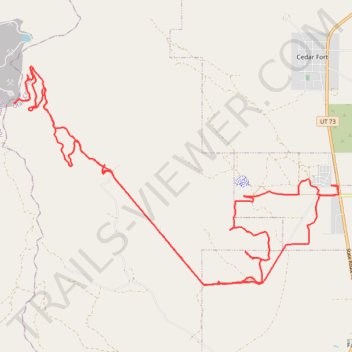
- Distance: 23.6 mi
- Elevation gain: 874 m
- Maximum elevation: 2,147 m
- Elevation loss: 872 m
- Minimum elevation: 1,517 m
- Moving time: 3 h 17 m
- Moving speed: 7.2 mph
- Maximum speed: 31.6 mph
- Total time: 3 h 42 m
- Global speed: 6.4 mph
Interactive trail map
Trail profile
- Distance: 23.6 mi
- Elevation gain: 874 m
- Maximum elevation: 2,147 m
- Elevation loss: 872 m
- Minimum elevation: 1,517 m
- Moving time: 3 h 17 m
- Moving speed: 7.2 mph
- Maximum speed: 31.6 mph
- Total time: 3 h 42 m
- Global speed: 6.4 mph
About this trail
Name: Manning Canyon Exploration trail, distance, elevation, map, profile, GPS track
Coordinates: 40.27560 -112.19527 40.32488 -112.09892