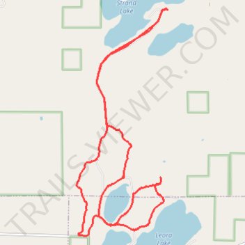
Rose Lake Trails
- Distance: 9.7 mi
- Elevation gain: 100 m
- Maximum elevation: 439 m
- Elevation loss: 99 m
- Minimum elevation: 420 m
Interactive trail map
Trail profile
- Distance: 9.7 mi
- Elevation gain: 100 m
- Maximum elevation: 439 m
- Elevation loss: 99 m
- Minimum elevation: 420 m
About this trail
Name: Rose Lake Trails trail, distance, elevation, map, profile, GPS track
Coordinates: 47.10413 -92.42662 47.14334 -92.40338