Morning Mountain Bike Ride
- Distance: 5.8 mi
- Elevation gain: 175 m
- Maximum elevation: 2,125 m
- Elevation loss: 176 m
- Minimum elevation: 2,043 m
- Moving time: 37 m 2 s
- Moving speed: 9.5 mph
- Maximum speed: 22.2 mph
- Total time: 37 m 2 s
- Global speed: 9.5 mph
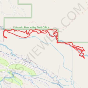
Interactive trail map
Trail profile
- Distance: 5.8 mi
- Elevation gain: 175 m
- Maximum elevation: 2,125 m
- Elevation loss: 176 m
- Minimum elevation: 2,043 m
- Moving time: 37 m 2 s
- Moving speed: 9.5 mph
- Maximum speed: 22.2 mph
- Total time: 37 m 2 s
- Global speed: 9.5 mph
About this trail
Name: Morning Mountain Bike Ride trail, distance, elevation, map, profile, GPS track
Start: Haymaker, Eagle, Eagle County, Colorado, 81631, United States (39.64278 -106.81237)
End: Haymaker, Eagle, Eagle County, Colorado, 81631, United States (39.64279 -106.81240)
Coordinates: 39.63491 -106.81383 39.64310 -106.78395