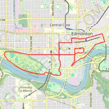
Import a GPX file

Edmonton

North Saskatchewan River. #Bike #Loop

  • Distance: 7.5 mi
  • Elevation gain: 182 m
  • Maximum elevation: 689 m
  • Elevation loss: 181 m
  • Minimum elevation: 620 m

Interactive trail map

Trail profile

  • Distance: 7.5 mi
  • Elevation gain: 182 m
  • Maximum elevation: 689 m
  • Elevation loss: 181 m
  • Minimum elevation: 620 m

About this trail

Gear up for your next adventure:

🍱Food Containers - Reusable containers for outdoor meals
🕶️Glacier Goggles - Maximum protection for high-altitude snow topography
🖼️Topographic Map Art - Decorative 3D-effect posters of famous UK peaks and regions
Insulated Travel Mugs - Keep drinks hot while surveying the landscape from a summit
🥤Hydration Bladders - Hands-free hydration systems for backpacks

As an Amazon Associate, this site earns from qualifying purchases at no extra cost to you.