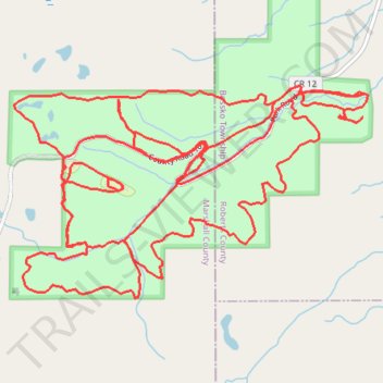
Sica Hollow State Park Loop
- Distance: 15.1 mi
- Elevation gain: 546 m
- Maximum elevation: 608 m
- Elevation loss: 546 m
- Minimum elevation: 471 m
- Moving time: 2 h 20 m
- Moving speed: 6.5 mph
- Maximum speed: 12.5 mph
- Total time: 2 h 32 m
- Global speed: 5.9 mph
Interactive trail map
Trail profile
- Distance: 15.1 mi
- Elevation gain: 546 m
- Maximum elevation: 608 m
- Elevation loss: 546 m
- Minimum elevation: 471 m
- Moving time: 2 h 20 m
- Moving speed: 6.5 mph
- Maximum speed: 12.5 mph
- Total time: 2 h 32 m
- Global speed: 5.9 mph
About this trail
Name: Sica Hollow State Park Loop trail, distance, elevation, map, profile, GPS track
Start: 113th Street, Bossko Township, Roberts County, South Dakota, United States (45.74653 -97.21260)
End: 113th Street, Bossko Township, Roberts County, South Dakota, United States (45.74648 -97.21271)
Coordinates: 45.73230 -97.24746 45.74711 -97.21210