Arches via Zephyr and Willow Springs, Moab, UT
Loop MTB from Colorado River in the Arches National Park. #MTB #Loop #Park #Nature #Desert
- Distance: 31.5 mi
- Elevation gain: 879 m
- Maximum elevation: 1,546 m
- Elevation loss: 880 m
- Minimum elevation: 1,207 m
- Moving time: 3 h 7 m
- Moving speed: 10.1 mph
- Maximum speed: 41.6 mph
- Total time: 4 h 4 m
- Global speed: 7.7 mph
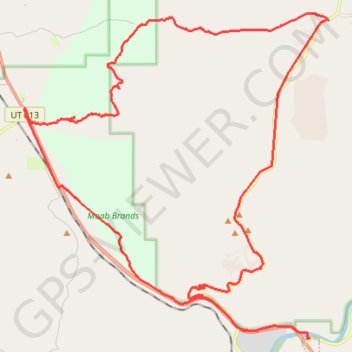
Interactive trail map
Trail profile
- Distance: 31.5 mi
- Elevation gain: 879 m
- Maximum elevation: 1,546 m
- Elevation loss: 880 m
- Minimum elevation: 1,207 m
- Moving time: 3 h 7 m
- Moving speed: 10.1 mph
- Maximum speed: 41.6 mph
- Total time: 4 h 4 m
- Global speed: 7.7 mph
About this trail
Name: Arches via Zephyr and Willow Springs, Moab, UT trail, distance, elevation, map, profile, GPS track
Coordinates: 38.60294 -109.68714 38.70369 -109.56646