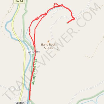
McIntyre Wild Area - Dutchmans Run Falls and McIntyre Cemetery
- Distance: 5.3 mi
- Elevation gain: 340 m
- Maximum elevation: 549 m
- Elevation loss: 341 m
- Minimum elevation: 261 m
Interactive trail map
Trail profile
- Distance: 5.3 mi
- Elevation gain: 340 m
- Maximum elevation: 549 m
- Elevation loss: 341 m
- Minimum elevation: 261 m
About this trail
Name: McIntyre Wild Area - Dutchmans Run Falls and McIntyre Cemetery trail, distance, elevation, map, profile, GPS track
Coordinates: 41.50705 -76.95125 41.52836 -76.93780