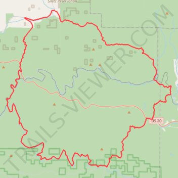
Magic Coast Range Loop
- Distance: 64.3 mi
- Elevation gain: 2,160 m
- Maximum elevation: 320 m
- Elevation loss: 2,159 m
- Minimum elevation: 1 m
- Moving time: 3 h 54 m
- Moving speed: 16.4 mph
- Maximum speed: 42.1 mph
- Total time: 4 h 44 m
- Global speed: 13.6 mph
Interactive trail map
Trail profile
- Distance: 64.3 mi
- Elevation gain: 2,160 m
- Maximum elevation: 320 m
- Elevation loss: 2,159 m
- Minimum elevation: 1 m
- Moving time: 3 h 54 m
- Moving speed: 16.4 mph
- Maximum speed: 42.1 mph
- Total time: 4 h 44 m
- Global speed: 13.6 mph
About this trail
Name: Magic Coast Range Loop trail, distance, elevation, map, profile, GPS track
Coordinates: 44.54084 -123.87565 44.74294 -123.57794