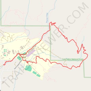
Morgan Barnes trail
- Distance: 4.6 mi
- Elevation gain: 426 m
- Maximum elevation: 707 m
- Elevation loss: 427 m
- Minimum elevation: 401 m
- Moving time: 1 h 52 m
- Moving speed: 2.5 mph
- Maximum speed: 5.5 mph
- Total time: 2 h 3 m
- Global speed: 2.3 mph
Interactive trail map
Trail profile
- Distance: 4.6 mi
- Elevation gain: 426 m
- Maximum elevation: 707 m
- Elevation loss: 427 m
- Minimum elevation: 401 m
- Moving time: 1 h 52 m
- Moving speed: 2.5 mph
- Maximum speed: 5.5 mph
- Total time: 2 h 3 m
- Global speed: 2.3 mph
About this trail
Name: Morgan Barnes trail trail, distance, elevation, map, profile, GPS track
Start: Horn Canyon Access Trail, Ventura County, California, 93024, United States (34.46175 -119.18300)
End: McAndrew Road, Ventura County, California, 93024, United States (34.46185 -119.18339)
Coordinates: 34.46082 -119.18339 34.47087 -119.16150