Afternoon Hike
- Distance: 5.6 mi
- Elevation gain: 66 m
- Maximum elevation: 274 m
- Elevation loss: 203 m
- Minimum elevation: 111 m
- Moving time: 25 m 22 s
- Moving speed: 13.3 mph
- Maximum speed: 28.1 mph
- Total time: 26 m 56 s
- Global speed: 12.5 mph
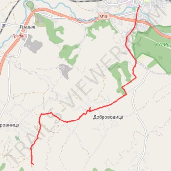
Interactive trail map
Trail profile
- Distance: 5.6 mi
- Elevation gain: 66 m
- Maximum elevation: 274 m
- Elevation loss: 203 m
- Minimum elevation: 111 m
- Moving time: 25 m 22 s
- Moving speed: 13.3 mph
- Maximum speed: 28.1 mph
- Total time: 26 m 56 s
- Global speed: 12.5 mph
About this trail
Name: Afternoon Hike trail, distance, elevation, map, profile, GPS track
Coordinates: 44.10436 21.03300 44.15205 21.07887
Other hiking, mountain biking, running and outdoor activity trails
Click on a trail to view its statistics, map and profile.
2022_Yu
Slovenia > Ajdovščina > Žapuže
Distance: 1,526.9 mi • Elevation gain: 32,048 m • Maximum elevation: 1,950 m