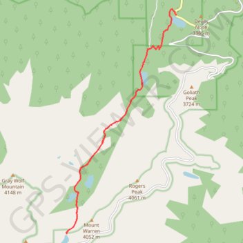
Chicago Lakes Trail
Interactive trail map
Trail profile
- Distance: 11.4 mi
- Elevation gain: 1,027 m
- Maximum elevation: 3,927 m
- Elevation loss: 1,027 m
- Minimum elevation: 3,148 m
About this trail
Name: Chicago Lakes Trail trail, distance, elevation, map, profile, GPS track
Start: 12388, State Highway 103, Clear Creek County, Colorado, 80452, United States (39.66002 -105.60402)
End: 12388, State Highway 103, Clear Creek County, Colorado, 80452, United States (39.66002 -105.60402)
Coordinates: 39.60141 -105.64227 39.66147 -105.60402
Other hiking, mountain biking, running and outdoor activity trails
Click on a trail to view its statistics, map and profile.
Chicago Lakes Lookout via Chicago Lakes Trail in Mount Evans Wilderness
United States > Colorado > Clear Creek County
The Chicago Lakes Lookout via Chicago Lakes Trail offers a remarkable hiking experience through the Mount Evans Wilderness, showcasing stunning alpine scenery. As hikers ascend, they are treated to sweeping views of a glacially-carved valley, with notable peaks such as Mount Evans and Rogers Peak looming in…
Distance: 5.7 mi • Elevation gain: 844 m • Maximum elevation: 3,927 m