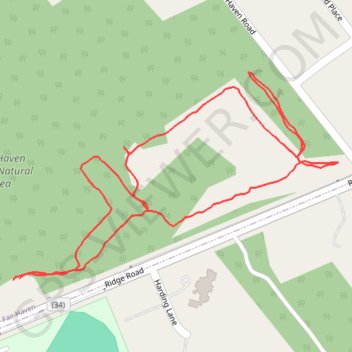
Fair Haven Fields Natural Area
- Distance: 1.0 mi
- Elevation gain: 5 m
- Maximum elevation: 15 m
- Elevation loss: 4 m
- Minimum elevation: 11 m
- Moving time: 22 m 47 s
- Moving speed: 2.6 mph
- Maximum speed: 3.9 mph
- Total time: 22 m 47 s
- Global speed: 2.6 mph
Interactive trail map
Trail profile
- Distance: 1.0 mi
- Elevation gain: 5 m
- Maximum elevation: 15 m
- Elevation loss: 4 m
- Minimum elevation: 11 m
- Moving time: 22 m 47 s
- Moving speed: 2.6 mph
- Maximum speed: 3.9 mph
- Total time: 22 m 47 s
- Global speed: 2.6 mph
About this trail
Name: Fair Haven Fields Natural Area trail, distance, elevation, map, profile, GPS track
Start: Holly Trail, Fair Haven, Monmouth County, New Jersey, 07704, United States (40.35448 -74.03220)
Coordinates: 40.35448 -74.03220 40.35689 -74.02724