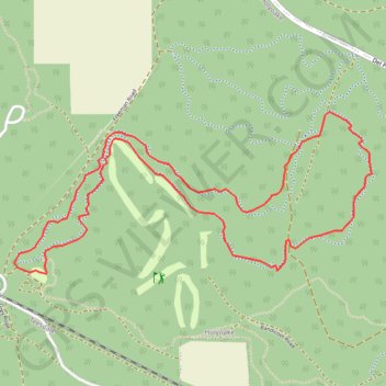
Import a GPX file

Marrinup Circuit

#Hiking #MTB #Loop

  • Distance: 4.4 mi
  • Elevation gain: 83 m
  • Maximum elevation: 296 m
  • Elevation loss: 83 m
  • Minimum elevation: 237 m

Interactive trail map

Trail profile

  • Distance: 4.4 mi
  • Elevation gain: 83 m
  • Maximum elevation: 296 m
  • Elevation loss: 83 m
  • Minimum elevation: 237 m

About this trail

Gear up for your next adventure:

🧷Tenacious Repair Tape - Instant fix for torn tents, jackets, or dry bags
🧴Sport Sunscreen Sticks - High-protection sunblock that won't run into your eyes on the trail
🚲Cycling GPS Computers - Track elevation and topographic routes on two wheels
🔥Reusable Hand Warmers - Maintain dexterity in your fingers for precise map handling
Insulated Travel Mugs - Keep drinks hot while surveying the landscape from a summit

As an Amazon Associate, this site earns from qualifying purchases at no extra cost to you.