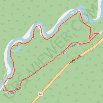
Algonquin Whiskey Rapids loop trail
- Distance: 1.3 mi
- Elevation gain: 32 m
- Maximum elevation: 439 m
- Elevation loss: 32 m
- Minimum elevation: 411 m
- Moving time: 44 m 14 s
- Moving speed: 1.8 mph
- Maximum speed: 3.7 mph
- Total time: 1 h 4 m
- Global speed: 1.2 mph
Interactive trail map
Trail profile
- Distance: 1.3 mi
- Elevation gain: 32 m
- Maximum elevation: 439 m
- Elevation loss: 32 m
- Minimum elevation: 411 m
- Moving time: 44 m 14 s
- Moving speed: 1.8 mph
- Maximum speed: 3.7 mph
- Total time: 1 h 4 m
- Global speed: 1.2 mph
About this trail
Name: Algonquin Whiskey Rapids loop trail trail, distance, elevation, map, profile, GPS track
Coordinates: 45.48173 -78.76473 45.48657 -78.75656
Other hiking, mountain biking, running and outdoor activity trails
Click on a trail to view its statistics, map and profile.