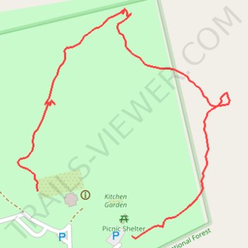
Rose Hill Plantation State Historic Site Loop Trail
- Distance: 0.6 mi
- Elevation gain: 22 m
- Maximum elevation: 152 m
- Elevation loss: 15 m
- Minimum elevation: 135 m
- Moving time: 17 m 25 s
- Moving speed: 2.1 mph
- Maximum speed: 6.6 mph
- Total time: 35 m 36 s
- Global speed: 1.0 mph
Interactive trail map
Trail profile
- Distance: 0.6 mi
- Elevation gain: 22 m
- Maximum elevation: 152 m
- Elevation loss: 15 m
- Minimum elevation: 135 m
- Moving time: 17 m 25 s
- Moving speed: 2.1 mph
- Maximum speed: 6.6 mph
- Total time: 35 m 36 s
- Global speed: 1.0 mph
About this trail
Name: Rose Hill Plantation State Historic Site Loop Trail trail, distance, elevation, map, profile, GPS track
Start: Adams Ford Road, Union County, South Carolina, 29379, United States (34.60545 -81.66250)
End: Adams Ford Road, Union County, South Carolina, 29379, United States (34.60603 -81.66397)
Coordinates: 34.60542 -81.66428 34.60836 -81.66098