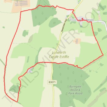
Coombe Wood, Belhuish, Coombe Keynes
- Distance: 5.5 mi
- Elevation gain: 163 m
- Maximum elevation: 147 m
- Elevation loss: 162 m
- Minimum elevation: 45 m
- Moving time: 1 h 37 m
- Moving speed: 3.4 mph
- Maximum speed: 4.7 mph
- Total time: 1 h 40 m
- Global speed: 3.3 mph
Interactive trail map
Trail profile
- Distance: 5.5 mi
- Elevation gain: 163 m
- Maximum elevation: 147 m
- Elevation loss: 162 m
- Minimum elevation: 45 m
- Moving time: 1 h 37 m
- Moving speed: 3.4 mph
- Maximum speed: 4.7 mph
- Total time: 1 h 40 m
- Global speed: 3.3 mph
About this trail
Name: Coombe Wood, Belhuish, Coombe Keynes trail, distance, elevation, map, profile, GPS track
Coordinates: 50.63914 -2.25158 50.66111 -2.21608
Topography: Dorset topographic map, elevation, terrain