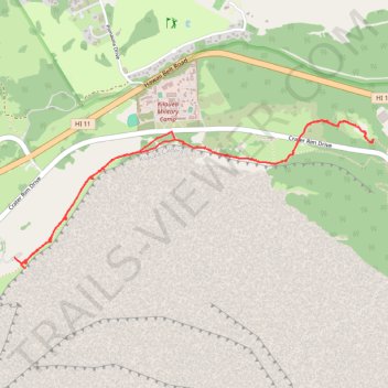
Crater Rim Trail and Sulphur Banks Trail
- Distance: 4.3 mi
- Elevation gain: 338 m
- Maximum elevation: 1,229 m
- Elevation loss: 310 m
- Minimum elevation: 1,152 m
- Moving time: 1 h 36 m
- Moving speed: 2.7 mph
- Maximum speed: 5.5 mph
- Total time: 2 h 24 s
- Global speed: 2.2 mph
Interactive trail map
Trail profile
- Distance: 4.3 mi
- Elevation gain: 338 m
- Maximum elevation: 1,229 m
- Elevation loss: 310 m
- Minimum elevation: 1,152 m
- Moving time: 1 h 36 m
- Moving speed: 2.7 mph
- Maximum speed: 5.5 mph
- Total time: 2 h 24 s
- Global speed: 2.2 mph
About this trail
Name: Crater Rim Trail and Sulphur Banks Trail trail, distance, elevation, map, profile, GPS track
Coordinates: 19.42319 -155.28470 19.43265 -155.26033