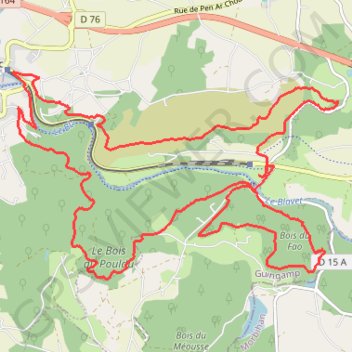
Trail de Guerlédan
- Distance: 14.4 mi
- Elevation gain: 770 m
- Maximum elevation: 271 m
- Elevation loss: 770 m
- Minimum elevation: 125 m
Interactive trail map
Trail profile
- Distance: 14.4 mi
- Elevation gain: 770 m
- Maximum elevation: 271 m
- Elevation loss: 770 m
- Minimum elevation: 125 m
About this trail
Name: Trail de Guerlédan trail, distance, elevation, map, profile, GPS track
Coordinates: 48.20077 -3.17487 48.22632 -3.11475