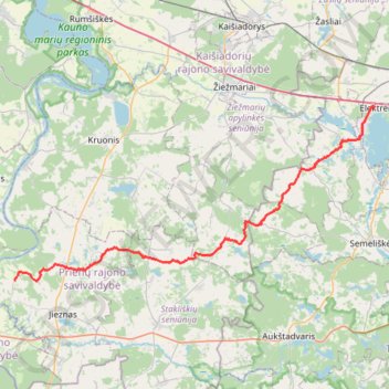
Elektrėnai - Sodyba
- Distance: 32.7 mi
- Elevation gain: 428 m
- Maximum elevation: 207 m
- Elevation loss: 434 m
- Minimum elevation: 56 m
- Moving time: 3 h 18 m
- Moving speed: 9.9 mph
- Maximum speed: 22.6 mph
- Total time: 3 h 18 m
- Global speed: 9.9 mph
Interactive trail map
Trail profile
- Distance: 32.7 mi
- Elevation gain: 428 m
- Maximum elevation: 207 m
- Elevation loss: 434 m
- Minimum elevation: 56 m
- Moving time: 3 h 18 m
- Moving speed: 9.9 mph
- Maximum speed: 22.6 mph
- Total time: 3 h 18 m
- Global speed: 9.9 mph
About this trail
Name: Elektrėnai - Sodyba trail, distance, elevation, map, profile, GPS track
Coordinates: 54.62929 24.09985 54.78702 24.66238