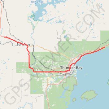
Shebandowan - Shuniah
- Distance: 58.0 mi
- Elevation gain: 484 m
- Maximum elevation: 445 m
- Elevation loss: 674 m
- Minimum elevation: 185 m
Interactive trail map
Trail profile
- Distance: 58.0 mi
- Elevation gain: 484 m
- Maximum elevation: 445 m
- Elevation loss: 674 m
- Minimum elevation: 185 m
About this trail
Name: Shebandowan - Shuniah trail, distance, elevation, map, profile, GPS track
Coordinates: 48.38002 -89.85956 48.58874 -88.96156
Other hiking, mountain biking, running and outdoor activity trails
Click on a trail to view its statistics, map and profile.
Shebandowan - Shuniah
Canada > Ontario > Thunder Bay District > Unorganized Thunder Bay District > Sunshine
Lake Superior. #Bike #Shebandowan #Shuniah #LakeSuperior
Distance: 46.7 mi • Elevation gain: 506 m • Maximum elevation: 457 m