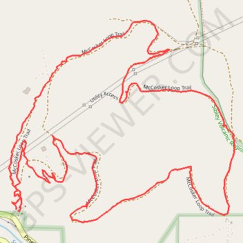
McCosker Loop Trail
Sibley Volcanic Regional Preserve
- Distance: 2.6 mi
- Elevation gain: 162 m
- Maximum elevation: 372 m
- Elevation loss: 161 m
- Minimum elevation: 236 m
- Moving time: 1 h 6 m
- Moving speed: 2.4 mph
- Maximum speed: 9.2 mph
- Total time: 1 h 12 m
- Global speed: 2.2 mph
Interactive trail map
Trail profile
- Distance: 2.6 mi
- Elevation gain: 162 m
- Maximum elevation: 372 m
- Elevation loss: 161 m
- Minimum elevation: 236 m
- Moving time: 1 h 6 m
- Moving speed: 2.4 mph
- Maximum speed: 9.2 mph
- Total time: 1 h 12 m
- Global speed: 2.2 mph
About this trail
Name: McCosker Loop Trail trail, distance, elevation, map, profile, GPS track
Coordinates: 37.83965 -122.18152 37.84565 -122.17304