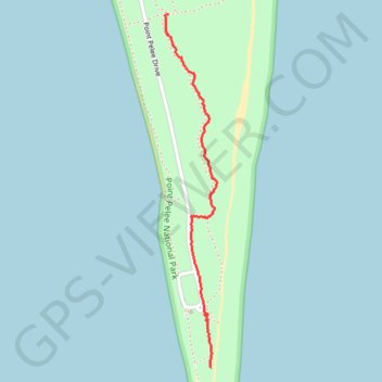
Point Pelee
- Distance: 1.1 mi
- Elevation gain: 4 m
- Maximum elevation: 177 m
- Elevation loss: 4 m
- Minimum elevation: 173 m
- Moving time: 28 m 19 s
- Moving speed: 2.3 mph
- Maximum speed: 5.0 mph
- Total time: 29 m 54 s
- Global speed: 2.2 mph
Interactive trail map
Trail profile
- Distance: 1.1 mi
- Elevation gain: 4 m
- Maximum elevation: 177 m
- Elevation loss: 4 m
- Minimum elevation: 173 m
- Moving time: 28 m 19 s
- Moving speed: 2.3 mph
- Maximum speed: 5.0 mph
- Total time: 29 m 54 s
- Global speed: 2.2 mph
About this trail
Name: Point Pelee trail, distance, elevation, map, profile, GPS track
Start: Point Pelee Drive, Leamington, Essex County, Ontario, Canada (41.91187 -82.50908)
End: Woodland Nature Trail, Leamington, Essex County, Ontario, Canada (41.92484 -82.51115)
Coordinates: 41.91187 -82.51135 41.92484 -82.50876