Observation Point
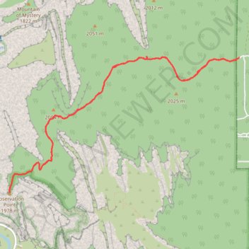
Interactive trail map
Trail profile
- Distance: 7.1 mi
- Elevation gain: 245 m
- Maximum elevation: 2,074 m
- Elevation loss: 245 m
- Minimum elevation: 1,951 m
- Moving time: 2 h 31 m
- Moving speed: 2.8 mph
- Maximum speed: 4.4 mph
- Total time: 3 h 4 m
- Global speed: 2.3 mph
About this trail
Name: Observation Point trail, distance, elevation, map, profile, GPS track
Coordinates: 37.27823 -112.94043 37.29692 -112.90085
Other hiking, mountain biking, running and outdoor activity trails
Click on a trail to view its statistics, map and profile.
Observation Point via East Mesa Trail in Zion National Park
United States > Utah > Kane County
The East Mesa Trail to Observation Point in Zion National Park offers a breathtaking hike through diverse landscapes, taking you through scrubby desert terrain and high-altitude plateaus, culminating in a breathtaking panorama of Zion Canyon. From the vantage point at Observation Point, one can marvel at…
Distance: 7.0 mi • Elevation gain: 239 m • Maximum elevation: 2,074 m