Import a GPX file

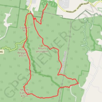
Mount Everard Circuit

Kinglake National Park. #Hiking #Loop #Kinglake

  • Distance: 10.7 mi
  • Elevation gain: 709 m
  • Maximum elevation: 518 m
  • Elevation loss: 739 m
  • Minimum elevation: 156 m

Interactive trail map

Trail profile

  • Distance: 10.7 mi
  • Elevation gain: 709 m
  • Maximum elevation: 518 m
  • Elevation loss: 739 m
  • Minimum elevation: 156 m

About this trail

Other hiking, mountain biking, running and outdoor activity trails

Click on a trail to view its statistics, map and profile.

Tallarook - Eildon - Hurstbridge

Australia > Victoria > Tallarook

#Bike

Distance: 173.2 mi • Elevation gain: 4,897 m • Maximum elevation: 868 m

Gear up for your next adventure:

🧥Packable Down Jackets - Lightweight warmth that compresses small in your bag
🛰️Handheld GPS Devices - Reliable GPS units for hiking and outdoor navigation
🧰Survival Kits - Emergency tools for remote environments
🥾Women's Waterproof Hiking Boots - High-performance trekking boots designed for all-weather comfort
👟Women's Trail Running Shoes - Agile footwear for fell running and technical trails

As an Amazon Associate, this site earns from qualifying purchases at no extra cost to you.