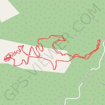
Callignee South, VIC, Australia
- Distance: 7.0 mi
- Elevation gain: 560 m
- Maximum elevation: 496 m
- Elevation loss: 562 m
- Minimum elevation: 252 m
- Moving time: 1 h 9 m
- Moving speed: 6.0 mph
- Maximum speed: 9.0 mph
- Total time: 1 h 9 m
- Global speed: 6.0 mph
Interactive trail map
Trail profile
- Distance: 7.0 mi
- Elevation gain: 560 m
- Maximum elevation: 496 m
- Elevation loss: 562 m
- Minimum elevation: 252 m
- Moving time: 1 h 9 m
- Moving speed: 6.0 mph
- Maximum speed: 9.0 mph
- Total time: 1 h 9 m
- Global speed: 6.0 mph
About this trail
Name: Callignee South, VIC, Australia trail, distance, elevation, map, profile, GPS track
Coordinates: -38.38122 146.61663 -38.37731 146.63054