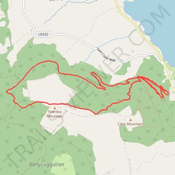
Killlaloe MTB trails
- Distance: 6.4 mi
- Elevation gain: 443 m
- Maximum elevation: 378 m
- Elevation loss: 442 m
- Minimum elevation: 70 m
- Moving time: 1 h 49 m
- Moving speed: 3.5 mph
- Maximum speed: 18.4 mph
- Total time: 2 h 21 m
- Global speed: 2.7 mph
Interactive trail map
Trail profile
- Distance: 6.4 mi
- Elevation gain: 443 m
- Maximum elevation: 378 m
- Elevation loss: 442 m
- Minimum elevation: 70 m
- Moving time: 1 h 49 m
- Moving speed: 3.5 mph
- Maximum speed: 18.4 mph
- Total time: 2 h 21 m
- Global speed: 2.7 mph
About this trail
Name: Killlaloe MTB trails trail, distance, elevation, map, profile, GPS track
Coordinates: 52.83041 -8.50245 52.83792 -8.46469
Other hiking, mountain biking, running and outdoor activity trails
Click on a trail to view its statistics, map and profile.
Feenlee Mountain - Moylussa - Cragnamurragh - Knockanuarha
From Twomilegate. #Hiking
Distance: 18.4 mi • Elevation gain: 974 m • Maximum elevation: 528 m