Hiking Jardine
- Distance: 3.6 mi
- Elevation gain: 495 m
- Maximum elevation: 2,124 m
- Elevation loss: 494 m
- Minimum elevation: 1,687 m
- Moving time: 1 h 33 m
- Moving speed: 2.3 mph
- Maximum speed: 5.2 mph
- Total time: 1 h 57 m
- Global speed: 1.8 mph
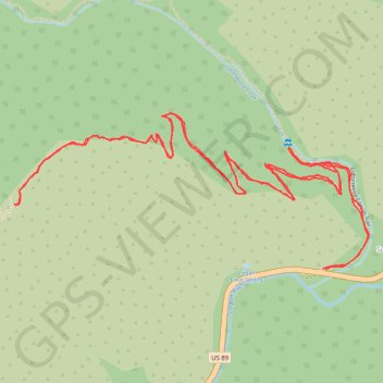
Interactive trail map
Trail profile
- Distance: 3.6 mi
- Elevation gain: 495 m
- Maximum elevation: 2,124 m
- Elevation loss: 494 m
- Minimum elevation: 1,687 m
- Moving time: 1 h 33 m
- Moving speed: 2.3 mph
- Maximum speed: 5.2 mph
- Total time: 1 h 57 m
- Global speed: 1.8 mph
About this trail
Name: Hiking Jardine trail, distance, elevation, map, profile, GPS track
End: US 89, Brachipad Summer Home Area, Cache County, Utah, United States (41.81409 -111.62122)
Coordinates: 41.81407 -111.63256 41.81836 -111.61954