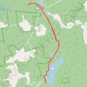
Great Meadow Brook Pond and Porter Pond area of Pachaug State Forest hiking trails
- Distance: 5.3 mi
- Elevation gain: 103 m
- Maximum elevation: 134 m
- Elevation loss: 103 m
- Minimum elevation: 99 m
- Moving time: 2 h 11 m
- Moving speed: 2.4 mph
- Maximum speed: 4.3 mph
- Total time: 3 h 3 m
- Global speed: 1.7 mph
Interactive trail map
Trail profile
- Distance: 5.3 mi
- Elevation gain: 103 m
- Maximum elevation: 134 m
- Elevation loss: 103 m
- Minimum elevation: 99 m
- Moving time: 2 h 11 m
- Moving speed: 2.4 mph
- Maximum speed: 4.3 mph
- Total time: 3 h 3 m
- Global speed: 1.7 mph
About this trail
Name: Great Meadow Brook Pond and Porter Pond area of Pachaug State Forest hiking trails trail, distance, elevation, map, profile, GPS track
Coordinates: 41.61774 -71.82494 41.64546 -71.81043