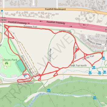
Hansen Dam Orcas Park Walk
- Distance: 2.5 mi
- Elevation gain: 21 m
- Maximum elevation: 335 m
- Elevation loss: 22 m
- Minimum elevation: 321 m
- Moving time: 43 m 39 s
- Moving speed: 3.4 mph
- Maximum speed: 4.7 mph
- Total time: 44 m 45 s
- Global speed: 3.4 mph
Interactive trail map
Trail profile
- Distance: 2.5 mi
- Elevation gain: 21 m
- Maximum elevation: 335 m
- Elevation loss: 22 m
- Minimum elevation: 321 m
- Moving time: 43 m 39 s
- Moving speed: 3.4 mph
- Maximum speed: 4.7 mph
- Total time: 44 m 45 s
- Global speed: 3.4 mph
About this trail
Name: Hansen Dam Orcas Park Walk trail, distance, elevation, map, profile, GPS track
Coordinates: 34.26915 -118.36822 34.27335 -118.35945
Other hiking, mountain biking, running and outdoor activity trails
Click on a trail to view its statistics, map and profile.
Hansen Dam Little Tujunga Area
United States > California > Los Angeles County > Los Angeles
Distance: 1.9 mi • Elevation gain: 23 m • Maximum elevation: 323 m