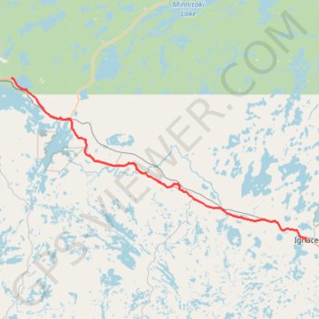
Import a GPX file

Dryden - Ignace

#Bike #Dryden #Ignace

  • Distance: 60.8 mi
  • Elevation gain: 531 m
  • Maximum elevation: 463 m
  • Elevation loss: 466 m
  • Minimum elevation: 371 m

Interactive trail map

Trail profile

  • Distance: 60.8 mi
  • Elevation gain: 531 m
  • Maximum elevation: 463 m
  • Elevation loss: 466 m
  • Minimum elevation: 371 m

About this trail

Gear up for your next adventure:

❄️Walking Crampons - Added traction for icy slopes and winter peak bagging
🧭Emergency Beacons - Safety beacons for remote outdoor locations
🎒Hiking Daypacks (20L) - Compact backpacks for day trips and technical mountain ascents
🚲Bikepacking Frame Bags - Storage for tools and navigation gear on long off-road rides
🛑Emergency Bivvy Bags - Heat-reflective survival bags for unexpected nights out

As an Amazon Associate, this site earns from qualifying purchases at no extra cost to you.