De Warby à Valcontent
- Distance: 5.7 mi
- Elevation gain: 185 m
- Maximum elevation: 298 m
- Elevation loss: 185 m
- Minimum elevation: 174 m
Interactive trail map
Trail profile
- Distance: 5.7 mi
- Elevation gain: 185 m
- Maximum elevation: 298 m
- Elevation loss: 185 m
- Minimum elevation: 174 m
About this trail
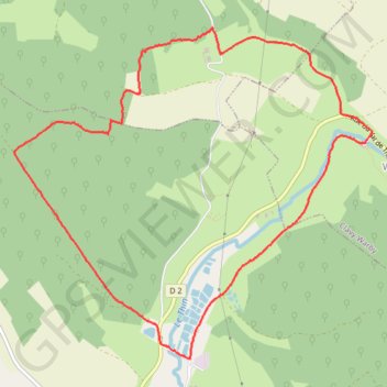
Name: De Warby à Valcontent trail, distance, elevation, map, profile, GPS track
Coordinates: 49.72704 4.49351 49.75047 4.53272
Other hiking, mountain biking, running and outdoor activity trails
Click on a trail to view its statistics, map and profile.
Eurovelo 15 - Strasbourg Rotterdam
France > Grand Est > Bas-Rhin > Strasbourg
Distance: 554.1 mi • Elevation gain: 2,104 m • Maximum elevation: 146 m